| . Hike Northbound through Britain with Daryl May Click for Southbound hike . |
|
 |
|
| English West Country | |
Northbound Home Start hiking here English West Country English Midlands North of England Southern Scotland Central Scotland Scottish Highlands Southbound Home |
|
| Overview of both
hikes Excerpts Statistics What others say Acknowledgments Contact me Copyright Links |
|
|
|
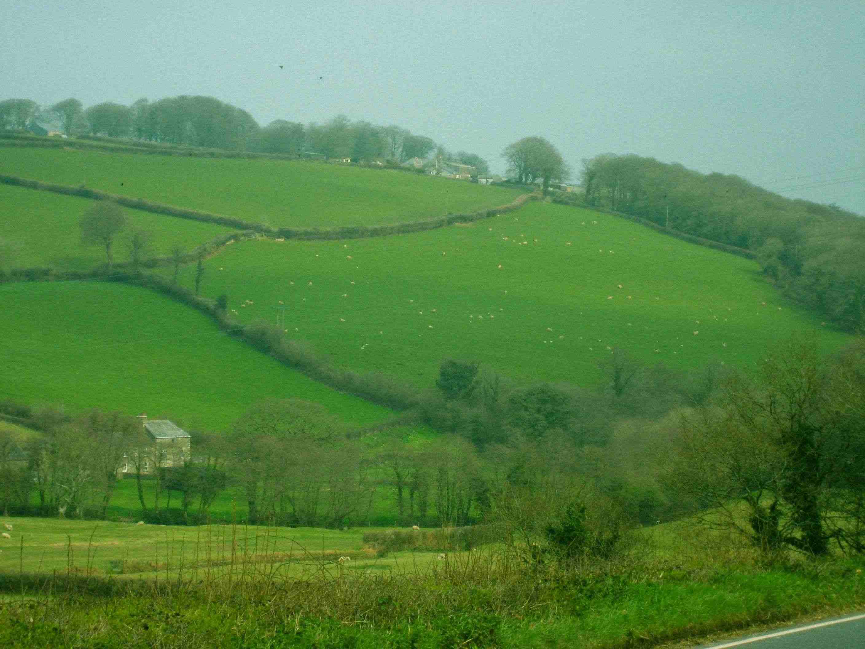
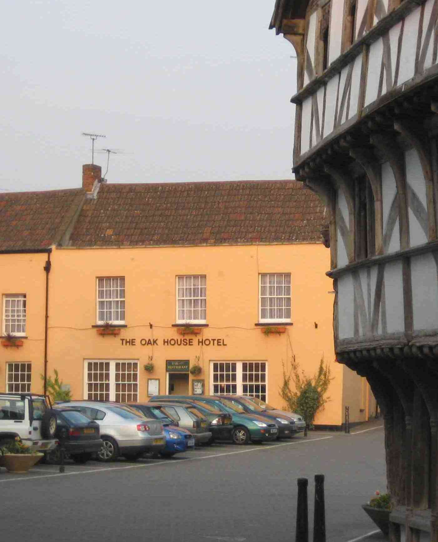
Hail to the hiker Land's End - Penzance The ups and downs of Cornwall Penzance - Higher Bosoha Farm Knees up, Hiker Hobson Higher Bosoha Farm - Carnon Downs Passed by a 91-year old Carnon Downs - St. Austell A nice day for it St. Austell - West Taphouse Still in Cornwall West Taphouse - Callington Dogfight in Devon Callington - Peter Tavy A boggy encounter Peter Tavy - Okehampton Lime pickle to die for Okehampton - Crediton Lumberjacking in Thorverton Crediton - Tiverton And so to Somerset Tiverton - Taunton Rest day coming up! Taunton - Bridgwater Meet Arthur Bourke-Stewart Bridgwater - Axbridge To Bristol by the wrong road Axbridge to Bristol |
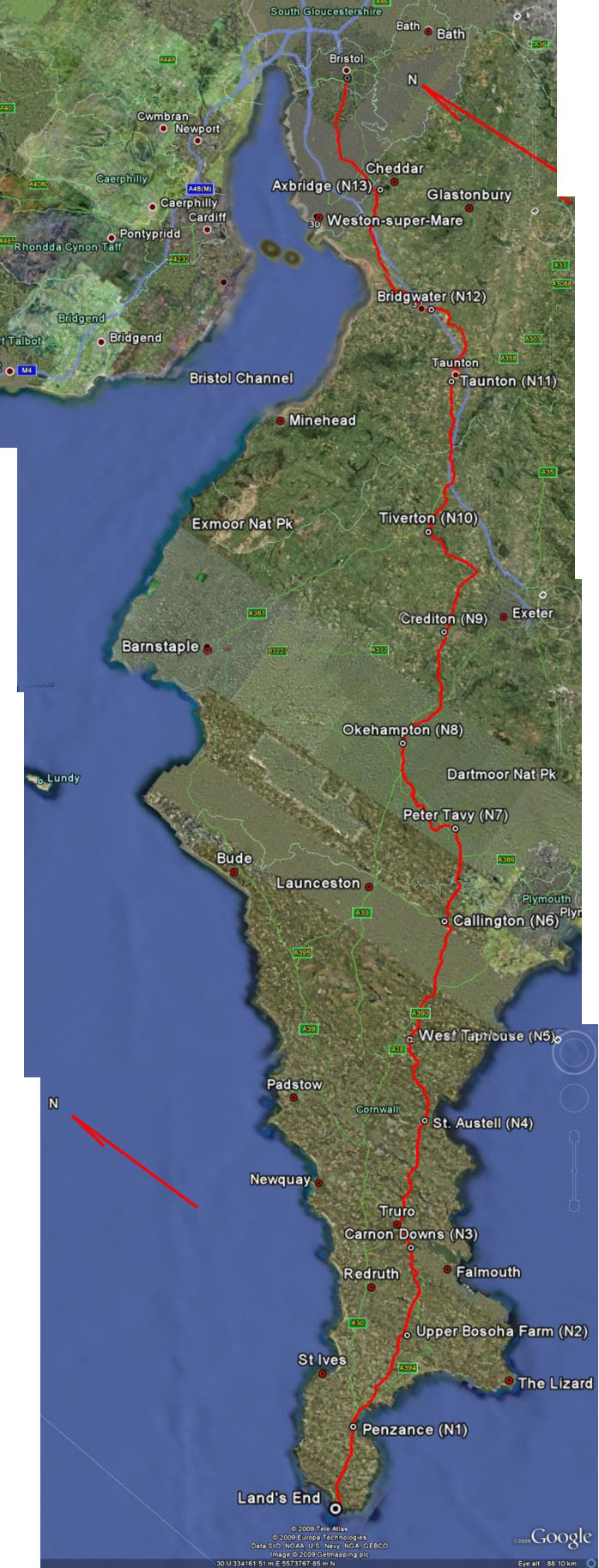
| . English West Country map. Read from bottom up. For an idea of scale, each day's hike was about 17 miles. Click here for a zoomable map of this region. The map was produced using Google Maps and Google Earth. . |
|
 |
|
| .
© 2007 - 2009 Daryl May |
|