|
Hike Northbound through Britain with Daryl May Click for Southbound hike |
|
 |
|
| Days N34 - N39 Southern Scotland | |
|
Northbound Home Start hiking here English West Country English Midlands North of England Southern Scotland Central Scotland Scottish Highlands Southbound Home |
Wednesday, April 25, 2007
Time of departure: 9.30 am Time of arrival: 3.15 pm Place departed: Lockerbie, Dumfries and Galloway Place arrived: Beattock, Dumfries and Galloway Miles: 15.0 Cum miles: 573.9 Percent complete: 61.9  Lochhouse Farm Retreat,
Beattock **** Lochhouse Farm Retreat,
Beattock ****Cost for bed and breakfast: £25 ($50) |
| Overview of both hikes Excerpts Statistics What others say Acknowledgments Contact me Copyright Links |
|
| I
left Lockerbie late this morning because of the kindness of B&B
owner, Shona Black. She let me use her computer to send my journal
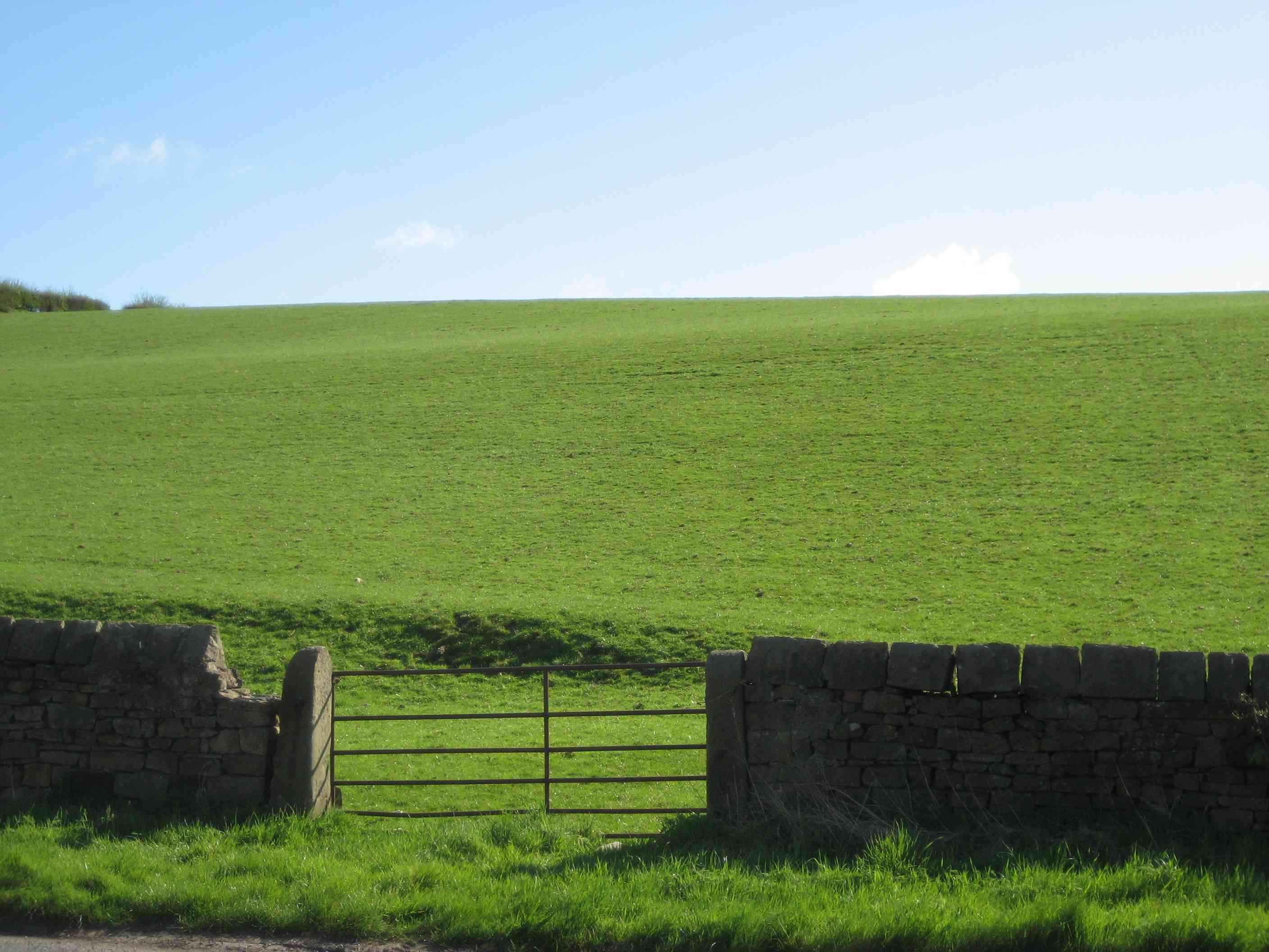
home. I'd been using electronics instead of paper for nearly everything. Saving having to carry a mountain of paper maps was where it all began. So I had a PDA (personal digital assistant) with digital, i.e., electronic or “memory”, maps. The PDA accepted input from my GPS receiver. It also had wireless connectivity to the internet ("wifi"), when that service had been functional. Plus I had a cellphone which doubled as a backup PDA though the cellphone part had now failed. So what could possibly go wrong? Well, I didn't bring a backup PDA for nothing. It gave me a second set of digital maps - because there was plenty of potential for problems, and I could have ended up with paper maps after all. I haven't mentioned it, but my labels on the digital maps ("overlays") were being eaten away by software gremlins. The maps were fine, but they no longer showed the exact location of the B&Bs. As I've related, the cellphone failed. In a separate incident, I lost many of my photos . . . Now that the weather was wet, the potential for problems increased. And I started to worry that my journal might get lost, even though I saved it on two separate memory cards. (The journal is the record you are reading now, though it was then in draft form.) Shona kindly let me send the journal home using her computer’s card reader and her internet connection. My loss of wifi put paid to that capability directly from the PDA. I'd have felt bereft if I'd lost the journal too. Feeling much relieved, I set out from Lockerbie at about 9.30 am, and didn't mind at all when it immediately started to drizzle. My only concern from my late start was whether there would be accommodation at the end of the day. I solved that with a cellphone call to the Lochhouse Farm Retreat in Beattock from my halfway point of Johnsonbridge. When the drizzle eased off, the wind and the cold arrived. The wind was hard and blustery, sending wavelets of bent grass rippling across the meadows in a quite beautiful way. As far as comfort, the wind was largely from behind, which is a good direction for wind to come from. You might not have had to pedal if you'd been riding a bike to the north this afternoon. The couple of bikers who approached me heading south looked fit to bust. The smell of manure was particularly acrid at times today. I wondered why - until I saw pigs and cattle. Horse-manure ‘aint as smelly. The road had no services of any kind for the 15 miles of today's hike. I couldn't have bought a beer or a chocolate bar. Tomorrow will be more desolate as I enter the southern uplands of Scotland, and climb to over 1000 ft. The Lochhouse Farm Retreat was comfortable, but had a cold feel to the room on what promised to be a frosty night. With few options for local eating (the bigger town of Moffat is two miles away), B&B owners Martin and Mary Brown cooked me a hearty dinner at a sensible price. It was a delight to eat a home-cooked meal again. Martin's Scotch broth was especially good, full of vegetables and beans, and spiced with chili. Beattock does not have a store of any kind, and the pub was closed when I arrived in town. At such places, there's little possibility of replenishing iron rations, or relaxing before going to sleep. The social life of a lone hiker can be pretty well nonexistent. I enjoyed talking to folks in the few villages I walked through, assuming they were on the street or in their front yard. Today I asked an auto transport driver resting on the roadside if I could have "the blue one", pointing to a BMW roadster in his load. These icebreakers usually led to some friendly small talk. Sometimes there was a pub in the right place, and open. But, while walking each day, I’d seen more sheep than humans, and may even have exchanged more "baa's" with them than I'd exchanged real words with humans. I developed a new respect for rural New Zealanders. As for the social life of long distance hikers in general, Roland Mueser (Long-Distance Hiking – Ragged Press, Camden, Maine, 1998) presents survey results of those who finish the Appalachian Trail in the U.S., which showed that they are more likely to be introverted than extraverted. The survey also showed that 85 percent of even the experienced hikers don't finish. But that trail is much longer than my hike, and even more remote from amenities. I wondered what percentage of starters finished the end-to-end hike. Tomorrow I would reach South Lanarkshire. The answer to the question on day N35 is £7/18/9. |
|
| Day N35 © 2007 and 2008 Daryl May Day N37 | |